Buenos Aires Airport
Bus 86 connects the airport to Plaza de Mayo in the center of the city, or you may take a taxi from one of the authorized taxi stands outside your terminal (journey time: 45 minutes). Better yet is a private transfer:
Transfers from the Airport
If you don't wish to rely on public transportation and prefer the convenience of a transfer, here are your options:
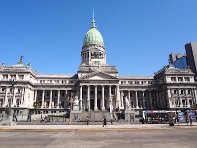
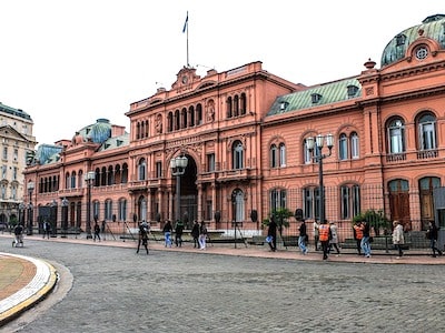
Getting Around Buenos Aires
The fastest and cheapest way to get around the city is by metro (the "subte"), but Buenos Aires is also great for walking. All of the main tourist and commercial areas are connected by the metro lines, except for the Recoleta and Puerto Madero neighborhoods, although they're just a short walk from several stations -- Puerto Madero from the L.N. Alem stop on the B line, and Recoleta from Barrio Norte on the D line.
Car Rental
To go elsewhere in Argentina by car, check the cheapest rental rates: